Unknown underground utilities
Unrecorded or incorrectly mapped cables, pipes and ducts can create hazards during excavation.

At Metroscan, we provide specialist surveying services for construction contractors, groundworks teams and civil engineering contractors across Dublin, County Kildare, Cork and nationwide Ireland.
From pre-excavation utility detection and Ground Penetrating Radar (GPR) surveys to topographical and construction surveys, we help contractors understand existing site conditions, identify potential underground hazards and plan works with greater confidence.
Call +353 86 193 5847 or email ci****@*******an.ie to discuss your construction project.
Construction programmes depend on reliable site information. Unknown underground services, inaccurate drawings and unexpected ground conditions can create safety risks, disrupt planned works and increase project costs.
Common challenges include:
Unrecorded or incorrectly mapped cables, pipes and ducts can create hazards during excavation.
Outdated utility records and missing site information can complicate construction planning.
Buried structures, obstructions and other subsurface features may affect proposed groundworks.
Delays in obtaining survey information can affect mobilisation, excavation and subsequent activities.
Existing pipework, chambers and connections can restrict proposed construction works.
Multiple contractors, services and construction activities often need to be managed within restricted working areas.
Contractors need appropriate information to support risk assessments, method statements and safe digging procedures.
Metroscan helps contractors address these challenges through targeted surveys that improve site understanding before intrusive work begins.

Our underground utility locating services help contractors identify and map detectable buried infrastructure before excavation, trenching, piling or other groundworks begin.
Utility surveys can help investigate:
Survey findings can support excavation planning, utility coordination, risk assessments and decisions about further investigation.
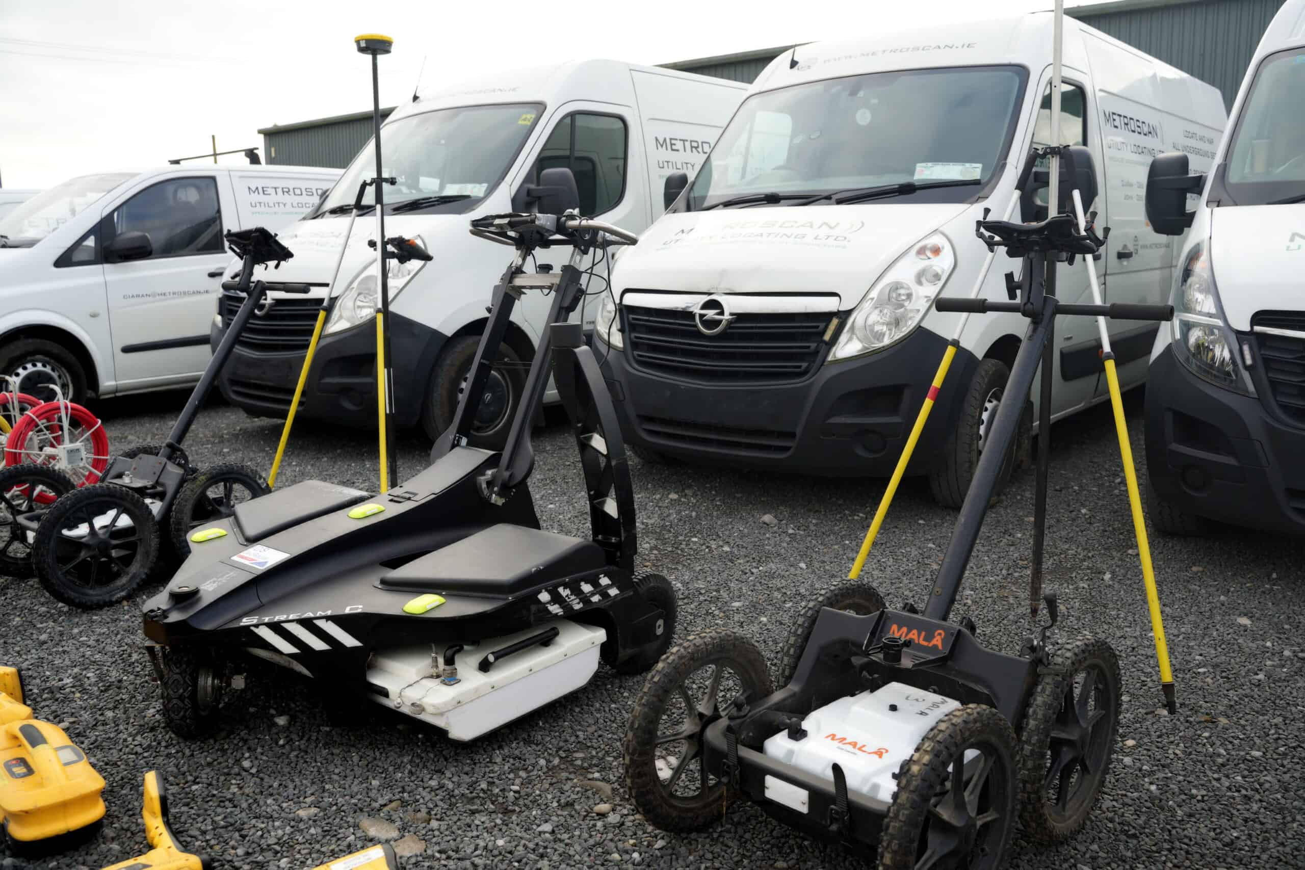
Our GPR surveys use non-invasive technology to investigate subsurface conditions and identify potential underground features.
GPR can complement electromagnetic utility locating by helping investigate:
GPR is particularly useful where contractors need additional information about underground conditions before excavation, drilling, cutting or construction.
Results depend on factors including ground composition, moisture, depth and target characteristics. No survey method can guarantee that every buried utility or obstruction will be detected.
Where detailed interpretation is required, our GPR post-processing services can help convert recorded information into practical project outputs.
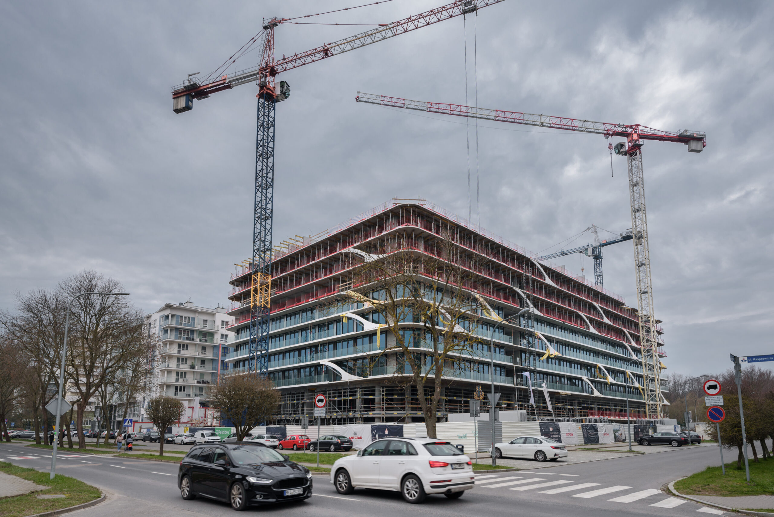
Our topographical surveys provide information about existing ground levels, terrain and visible site features.
For construction contractors, this information can support:
Topographical data can also be coordinated with underground utility survey findings to provide a clearer understanding of above-ground and below-ground site conditions.

Our construction surveys support contractors during active project delivery.
Depending on the agreed project requirements, surveying can support:
Accurate survey information helps site teams coordinate construction activities against relevant drawings and engineering specifications.
Our commercial CCTV drainage surveys help contractors investigate existing drainage infrastructure before construction, redevelopment or groundworks.
Camera inspections can identify visible defects and conditions such as:
Drainage information can help contractors understand existing assets and identify potential issues before proposed works affect the network.
Where additional chamber information is required, our manhole surveys can provide complementary infrastructure records.
For refurbishment, redevelopment and larger construction projects, additional survey information may be required.
Our building surveys provide existing-building information that can support design coordination, alterations and redevelopment.
Our aerial drone surveys can provide aerial site information for suitable construction and infrastructure projects, subject to site conditions and operational requirements.
These services can complement wider construction and site investigation work.
Early surveys help contractors assess site constraints, understand existing infrastructure and identify potential risks before mobilisation.
Utility and topographical information can support construction planning, methodology development and tender preparation.
Before groundworks begin, contractors may require updated information about existing utilities, site levels, drainage networks and other relevant features.
Targeted surveys can help establish a clearer understanding of the working environment.
Underground utility locating and GPR investigations can support excavation planning and help identify areas where additional precautions or investigation may be necessary.
Construction surveys provide measurements and positional information that help contractors coordinate work against the agreed engineering design.
For projects involving existing buildings or infrastructure, measured building, drainage and utility surveys can provide information about existing conditions before alterations begin.
Metroscan provides surveying services for contractors in Dublin, Kildare and Ireland working across commercial construction, civil engineering, infrastructure and redevelopment projects.
Utility detection and GPR surveys help contractors investigate buried infrastructure before trenching, foundations, drainage installation and other groundworks.
Construction projects involving warehouses, logistics facilities, industrial premises and commercial developments may require utility surveys, topographical information and construction surveying.
Contractors working on roads, public infrastructure and transport-related construction can use utility locating and topographical surveys to investigate existing site conditions before intrusive work.
For larger residential developments, surveys can support site preparation, underground infrastructure coordination, drainage investigations and construction planning.
Established urban sites can contain congested utility networks, restricted working areas and incomplete infrastructure records.
Utility locating, GPR and drainage surveys can help contractors better understand these constraints before work begins.
Measured building surveys and relevant site investigations can support contractors undertaking alterations, extensions and refurbishment of existing commercial properties.
Survey requirements vary according to the project, type of investigation and relevant construction specifications.
Depending on the scope, important references can include:
Metroscan can discuss relevant project specifications and agree an appropriate survey scope before work begins.
Underground utility detection should be considered alongside available service records, appropriate site controls and safe excavation procedures.
Survey deliverables depend on the investigation method, site conditions and agreed project specification.
Typical outputs can include:
For projects requiring more detailed underground utility information, explore our guide to GPR utility survey data deliverables.
We review the site location, construction activities, survey boundaries, existing drawings, required deliverables and project programme.
Providing this information early helps us assess the requirement and prepare a quotation efficiently.
We establish an appropriate survey methodology based on the site conditions, investigation objectives, access arrangements and relevant specifications.
Our survey teams or specialist delivery partners carry out the required investigations using suitable equipment and techniques.
Recorded information is reviewed and prepared into the agreed drawings, reports or digital outputs.
Our focus is on providing practical information that contractors and site teams can use without unnecessary delays.
Metroscan supports construction contractors throughout Ireland, with survey services available across:
Based in County Kildare, our team is accustomed to travelling for specialist surveying projects, including larger construction works requiring extended site attendance.
Contractors commonly require underground utility surveys and GPR investigations to help identify detectable buried services before excavation. Topographical or drainage surveys may also be necessary depending on the site and proposed works.
The appropriate combination depends on the project requirements, available records and nature of the excavation.
Utility surveys help contractors identify potential underground hazards, understand existing service routes and plan excavation more effectively.
This information supports risk assessments and safe working procedures, although further verification and appropriate excavation controls may still be required.
No. GPR performance is affected by ground conditions, moisture, depth, target characteristics and other site-specific factors.
GPR and complementary locating methods help improve understanding of underground conditions but cannot guarantee complete detection.
Survey availability depends on the site location, required investigation, project complexity and current scheduling.
Metroscan prioritises efficient quotation and survey turnaround. Providing the site details, drawings and required programme helps us assess your requirements promptly.
Yes, utility surveys can be planned for active construction environments where suitable access and safe working arrangements are available.
Survey planning should account for site operations, traffic management, restricted areas and other relevant conditions.
Yes. CAD-compatible drawings can be included within the agreed survey deliverables.
Depending on the survey type, outputs may include utility mapping, topographical drawings, construction survey information and other project-specific data.
Yes. Contractors may benefit from combining underground utility surveys, GPR, topographical surveys, drainage inspections and construction surveying.
Coordinating complementary surveys can provide a broader understanding of site conditions and help reduce duplicated investigation work.
Underground utility surveys can be scoped with reference to PAS 128:2022 where required by the project specification.
The relevant methodology, survey quality levels and deliverables should be confirmed before work begins.
Pricing depends on the survey type, site size, complexity, accessibility, required level of detail, reporting requirements and project programme.
Providing existing drawings and a clear survey specification helps Metroscan prepare an accurate project quotation.
Useful information includes:
Yes. Metroscan provides surveying services nationwide and supports individual site investigations as well as larger construction and infrastructure projects requiring extended attendance.
The survey approach and programme are established according to the project requirements.
Start Here
Whether you’re preparing for excavation, planning groundworks, coordinating utilities or managing an active construction project, Metroscan can help provide the survey information needed to make informed site decisions.
Send us your site location, available drawings, required survey scope and project timeframe, and we’ll help establish an appropriate approach for your works.
