

Background
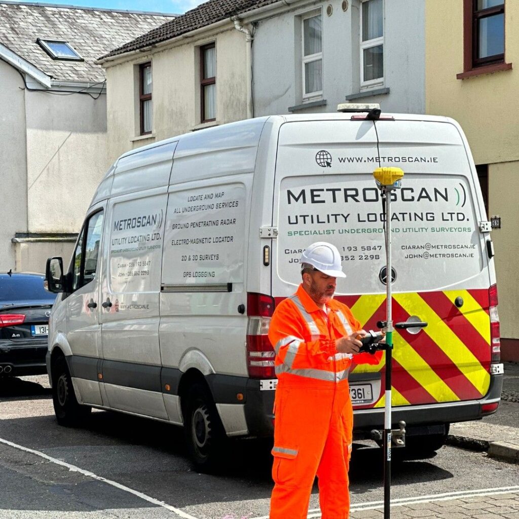
At Metroscan Utility Locating, we are dedicated to providing our clients with peace of mind, as to what underground services may be in their proposed work zone. Safety and Utility Damage Prevention are two major aspects which can determine whether your project comes in on time and under budget. Utility strikes or unknown utilities in the work zone can impose significant extra costs on an overall project, or worse, may even cause a fatality. Choosing Metroscan for your project minimizes the “risk” involved with the many aspects of underground excavation.
Services Include:
Ground Penetrating Radar-GPR Service
Equipment Used to Map Underground Services
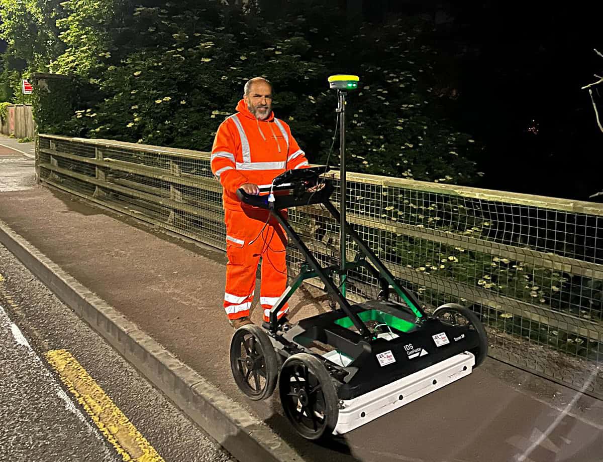
Ground Penetrating Radar – GPR
Ground penetrating radar is an instrument used for detecting subsurface anomalies. It is a piece of equipment that is pushed / pulled over the ground inducing pulses of electromagnetic energy into the ground, which in turn reflects off subsurface features. The depth in which the GPR can detect services is primarily down to the soil conditions in your proposed work zone (sand and dry soil produce better results and condensed wet clay). The GPR can detect under tarmac, concrete, various soil types and is self-calibrating to suit the sub surface conditions you are scanning. It can be used to detect gas, water, oil, foul and surface water pipelines, electrical cables and ducts. GPR is also capable of detecting rebar in concrete slabs, caves, graves, voids, walls, subsurface streams, tanks, trenches, and soak wells. The use and interpretation of GPR is greatly down to the experience of the operators. Metroscan can offer clients GPR Technicians with 20+ years’ experience in the industry.
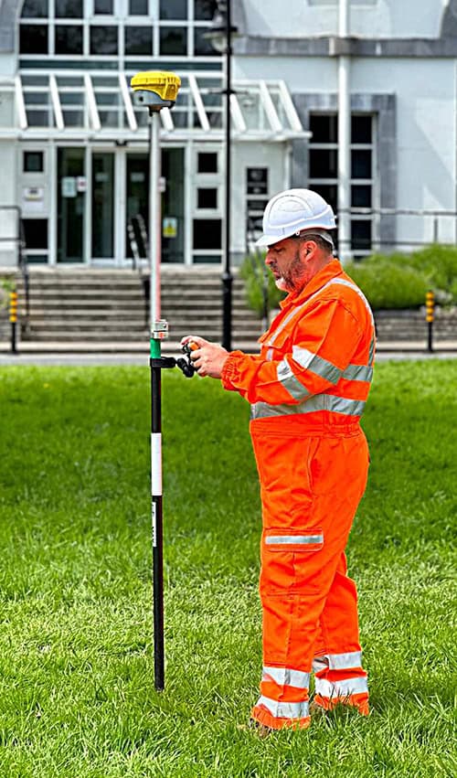
Global Positioning Systems (GPS)
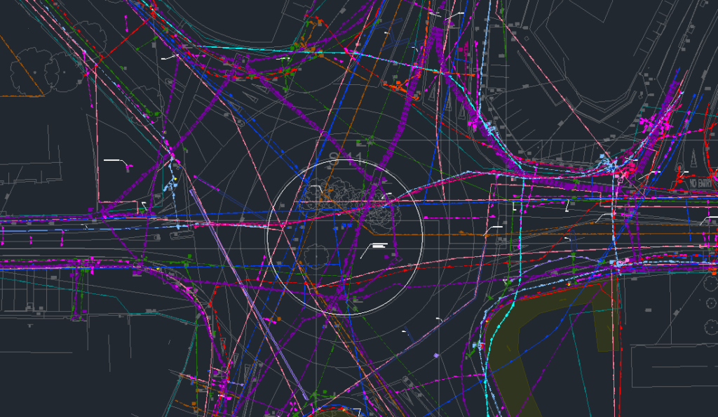
When all underground services have accurately marked and identified on site, the coordinates of these services are recorded using the most up to date GPS technology. This in turn is placed on a CAD file for the client and presented in 2D, 3D or PDF format. Results can be overlaid on a topographical survey of the site. GPS coordinates of all located services can be readily obtained from Metroscan on request.
Why Choose Metroscan Utility Locating
The majority of service strikes are due to undocumented services, incorrect reading of plans or services being installed at incorrect depths. By engaging Metroscan you are taking the first step to removing these factors. Our highly experienced Utility Surveyors will utilise the very latest in utility locating technology to determine the location and depth of all documented services. See our underground utility surveying services.
Electromagnetic Locating Device – Cat & Genny
Electromagnetic locating devices, commonly referred to as the Cat and Genny, are essential tools for tracing conductible underground services. This equipment consists of two components: the transmitter (generator) and the receiver (Cable Avoidance Tool, or Cat). The transmitter emits a selected frequency into the designated cable or pipe, allowing the receiver to accurately locate the service both horizontally and vertically, with depth measurements accurate to within ±10%.
Cat and Genny Locating Methods
The three primary methods for using the Cat and Genny are:
- Direct Connection: This is the most accurate method for locating underground services. It requires a direct connection to the service, such as a valve or earth rod. The transmitter is placed next to the point of contact, and a double connection lead connects the transmitter to the service while the other lead is earthed. This process sends a signal through the cable, which can then be detected by the receiver.
- Signal Clamping: Similar to the Direct Connection method, Signal Clamping is used when a direct point of contact with the service is unavailable. In this case, a ring clamp is placed around the cable or duct, which is then connected to the transmitter, allowing a signal to be sent down the cable.
- Induction: This method is employed when there is no visible point of access to the cable or pipe. The transmitter is positioned above the suspected location of the service, inducing a signal into the ground and subsequently into the cable. While effective, this method is the least favourable, as the signal may bleed into nearby services, complicating the locating process.
Additionally, the Cat and Genny can operate in passive and power modes, which are typically used to identify unknown or undocumented conductible services within the proposed work zone.
GET A CALL BACK
