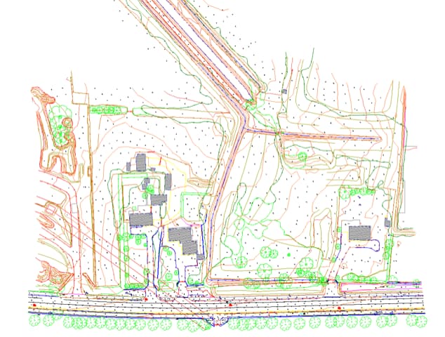
Improved Site Understanding
Gain a clear and accurate picture of your site, including terrain levels, features and constraints before work begins.

Topographical Surveys
Topographical Surveys are essential for understanding land, levels and existing site features before any design or construction begins. At Metroscan, we deliver precise, high-quality survey data that helps engineers, developers and contractors make informed decisions, reduce risk and move projects forward with confidence. Discover efficient and accurate topographical surveys in Dublin, Kildare and the surrounding areas.
Why Choose MEtroscan
Call +353 86 193 5847, +353469701915 or email ci****@*******an.ie to speak with our team.


What Are Topographical Surveys
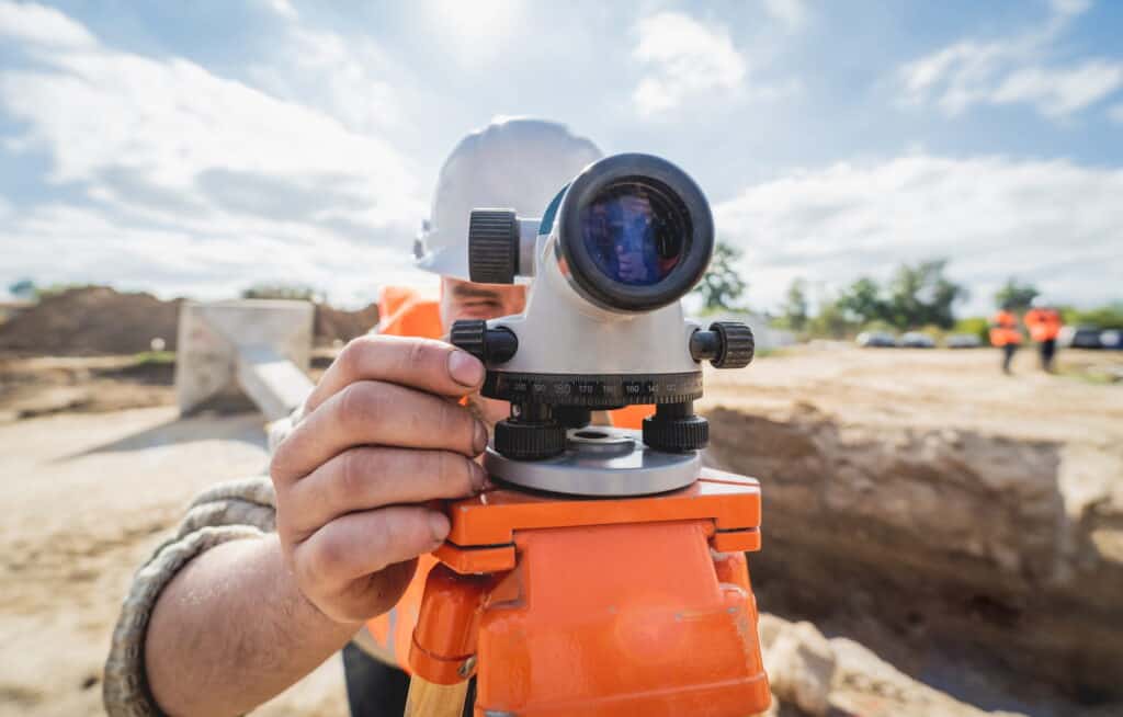
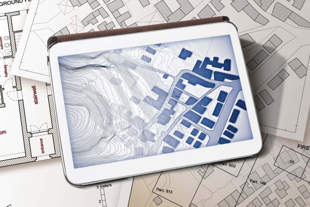
Topographical surveys provide a detailed representation of both natural and man-made features on a site. This includes elevations, contours, buildings, roads, drainage systems and visible utilities, giving a complete picture of the land before work begins.
These surveys are essential for:
Topographical data is often combined with underground utility locating to provide a complete above and below ground understanding of a site. You can explore how this integrates with our utility locating services.
Gain a clear and accurate picture of your site, including terrain levels, features and constraints before work begins.
Support architects and engineers with reliable data for design, drainage planning and infrastructure layout.
Identify potential issues such as uneven ground, access limitations or drainage challenges early.
Accurate data helps prevent delays, redesigns and unexpected costs during construction.
Survey outputs can be combined with CAD drawings and other datasets, including our GPR data deliverables.
We review your site requirements, project scope and timelines to plan the survey effectively.
Our team carries out detailed measurements using advanced GPS and surveying equipment to capture all relevant features.
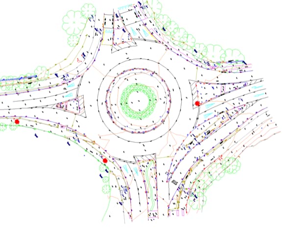
Survey data is processed into accurate CAD drawings and digital formats tailored to your project needs.
You receive clear, structured outputs that can be used immediately for planning, design and construction.
For complex projects, this process can be supported by services such as construction surveys and GPR surveys.

Surveyors in Ireland
Metroscan is trusted by engineering professionals and contractors because we focus on delivering accurate, reliable data that supports real-world project outcomes.
Our work is carried out in line with recognised industry approaches, including guidance similar to standards outlined by organisations such as the Royal Institution of Chartered Surveyors.
Nationwide Project Delivery
We deliver topographical surveying services in Ireland, frequently attending projects in:
As a specialist surveying company based in County Kildare, we regularly support projects requiring travel and extended site work across Ireland, ensuring consistent service regardless of location.
A survey typically includes ground levels, contours, buildings, roads, vegetation and visible infrastructure. The level of detail depends on project requirements.
Timelines vary depending on site size and complexity. Smaller sites can often be completed quickly, while larger projects require more detailed data collection.
Yes, most construction and development projects require accurate site data to support planning, design and compliance.
Yes, surveys are often combined with utility locating, GPR scanning and drainage surveys for a complete site assessment. Learn more about our CCTV drainage surveys and manhole surveys.
Survey results are typically provided in CAD formats, PDFs or 3D models, depending on your project requirements. These outputs are ready to integrate into design and planning workflows.
Topographical surveys are non-invasive and designed to minimise disruption. Our team works efficiently on-site to ensure minimal impact on ongoing operations.
We typically require site location details, project scope and any existing drawings or specifications. This allows us to plan the survey and deliver the most relevant data.
Start Here
Accurate topographical data is the foundation of successful planning, design and construction. If you’re in need of a topographical survey in Dublin, Kildare or anywhere in Ireland, Metroscan provides reliable, high-quality surveys that give you the clarity needed to move forward without uncertainty.
